PM GatiShakti Turns Five: How a Digital Map Is Changing the Way India Plans Roads, Railways and Ports
Launched on October 13, 2021, the National Master Plan has screened more than 400 big infrastructure projects. What it is, what it has achieved, and the problems that remain.
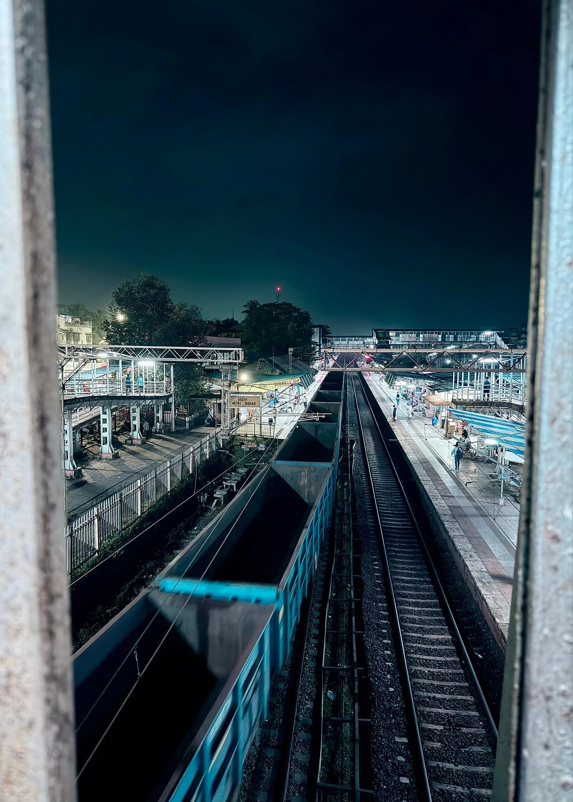
Five years ago, on October 13, 2021, the government launched PM GatiShakti, a plan with an unusual idea at its heart: before building a new highway, railway line or port, every government department should look at the same digital map.
On its fifth anniversary, the government says the plan has screened hundreds of major infrastructure projects. Here is a simple explainer of what GatiShakti is, what it has achieved and what still needs fixing.
Quick answer
- What it is: a digital master plan for infrastructure, combining maps and data from central ministries and all states on one platform.
- What it is not: a funding scheme. It does not pay for projects; it helps plan them better.
- Scale: 58 central ministries and departments and all 36 states and Union Territories are on board.
- Projects: its planning group has recommended more than 400 projects worth about ₹20 lakh crore, according to Swarajya.
- Goal: cut delays, avoid costly mistakes and bring down India's high logistics costs.
The problem it tries to solve
For decades, Indian infrastructure was planned in silos. A new road might be built, then dug up a few months later to lay a water pipeline or optical fibre cable. Railway lines and highways were planned without checking where ports, industrial parks or forests were. Approvals took years.
GatiShakti puts all this information on one geographic information system (GIS) platform, built with BISAG-N, a geospatial institute in Gandhinagar. Planners can see land records, forests, rivers, railway stations, ports, highways, power lines and more on a single map, in what the government's latest note describes as more than 23,000 data layers.
The seven "engines"
The plan covers seven areas that drive growth:
- Roads
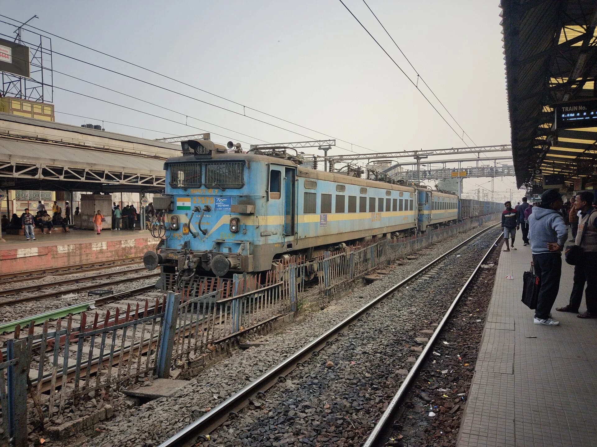
- Railways
- Ports
- Waterways
- Airports
- Mass transport
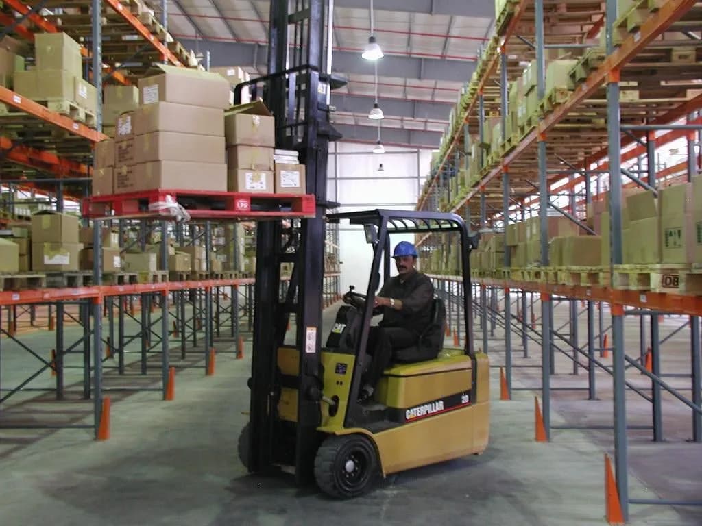
- Logistics infrastructure
How projects are screened
Any logistics or connectivity project above ₹500 crore goes to a Network Planning Group (NPG), made up of planning heads from different ministries. The NPG checks whether the project fits with others, avoids forests and settlements where possible, and connects properly to ports, rail and roads.
According to Swarajya, the Commerce and Industry Ministry says the NPG has recommended more than 400 projects worth about ₹20.23 lakh crore. As of August 2026, it had evaluated 396 projects worth ₹18.66 lakh crore.
Examples of what has changed
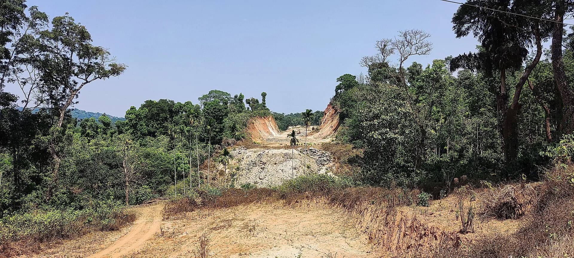
- Pune-Bengaluru expressway: using GatiShakti data, the alignment was redesigned to reduce its overlap with forest land by 19%, according to an analysis of government material.
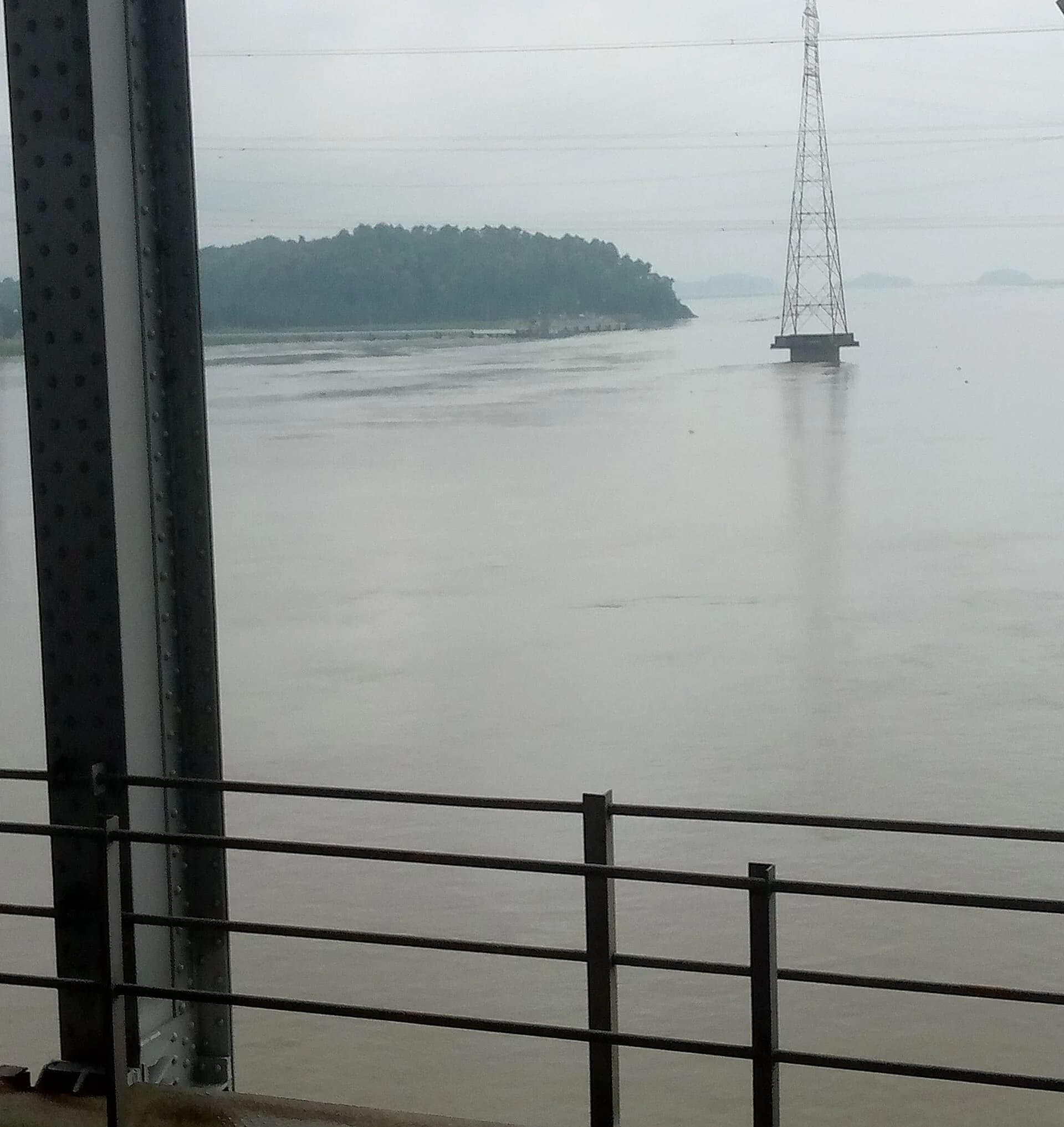
- Northeast logistics: planning for the Jogighopa multimodal logistics park in Assam, along the Brahmaputra, has been linked with river, rail and road connections.
- Social infrastructure: the platform is now also used to plan schools, health centres and water pipelines, and at the district level.
- Private sector: since October 2025, parts of the platform have been opened to private companies for planning.
The big question: are logistics costs falling?
India's logistics costs are often estimated at 13 to 14% of GDP, compared with about 8 to 9% in many developed economies, though economists debate the exact figure. The National Logistics Policy of 2022 aims to put India among the top 25 countries in the World Bank's Logistics Performance Index by 2030.
How far GatiShakti has lowered costs is still an open question. To measure progress, the Cabinet has recently approved an Integrated Transport and Logistics Authority, which will appraise big projects and track outcomes such as freight speed and container waiting times. Read our explainer on the new authority.
The problems that remain
Analysts point to several gaps:
- Land records: state land maps often don't match the ground reality, causing errors and disputes.
- Litigation: many road and rail projects are still delayed by land acquisition cases.
- Data updates: some municipal bodies and departments don't update their data quickly.
- Rural links: the focus on mega-projects can leave out village roads and mandi connections that matter to farmers.
- Private access: companies still face limits on using high-resolution data.
Why it matters to you
Better planning should mean fewer dug-up roads, faster approvals, quicker freight and, eventually, lower prices for goods that travel long distances. For businesses, especially exporters, cheaper and faster logistics can make Indian products more competitive.
The next five years will show whether a better map turns into faster, cheaper movement of goods, and whether the benefits reach villages as well as expressways.
Related reading
- What Is the Integrated Transport and Logistics Authority? The New Body Approved by the Cabinet, Explained
- Brookfield Buys ESR India's Logistics Parks in ₹4,300 Crore Deal, Entering India's Warehousing Market
- Chennai Metro Phase II Opens Its First Stretch: Poonamallee to Vadapalani, 11 Stations, Fares From ₹10
Sources
This article draws on the following reporting. Dates are when each source was originally published.
Written by
Stories, explainers and features published by The Daily, based on public sources that are listed with every article.
More from The Daily →Enjoyed this story?
Get the best of The Daily in your inbox every Sunday.