NavIC vs GPS: How India's Navigation System Works, and Does Your Phone Support It?
NavIC is India's own satellite navigation system. How it differs from the American GPS, why only some phones can use it, how to check yours, and why the system has struggled with satellite failures.
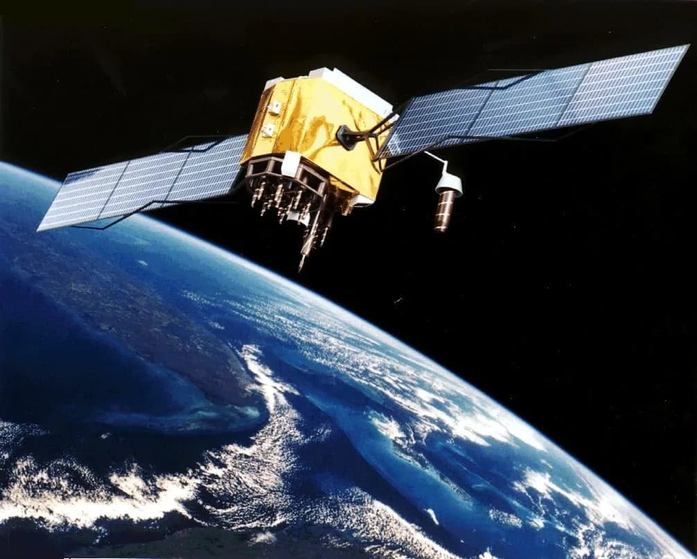
Every time you open a map on your phone, it is listening to satellites. For most of the world, that means GPS, run by the United States. India has built its own system, NavIC (Navigation with Indian Constellation), to give the country an independent source of position and timing. Here is how the two compare, and whether your phone can use NavIC.
Quick answer
- GPS is a global system run by the US, with dozens of satellites in medium Earth orbit.
- NavIC is a regional system run by ISRO, covering India and about 1,500 km around it, using satellites much higher up, over the Indian Ocean.
- Many recent Android phones with Qualcomm or MediaTek chips, and some recent iPhone Pro models, list NavIC support.
- Your phone uses several systems together (GPS, NavIC, Europe's Galileo, Russia's GLONASS, China's BeiDou), so you rarely need NavIC alone.
- NavIC has struggled with satellite failures; ISRO is launching replacements in the NVS series.
How satellite navigation works
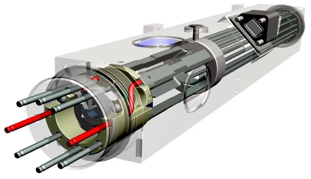
Each navigation satellite carries a very precise atomic clock and constantly broadcasts the time and its position. Your phone receives signals from several satellites and, from the tiny differences in arrival time, works out how far away each one is. With four or more satellites, it can calculate your position and correct its own clock.
The more satellites your phone can see, from more systems, the faster and more accurate the fix, especially among tall buildings.
NavIC vs GPS: the key differences
- Coverage: GPS covers the whole planet. NavIC covers India and its surroundings, which is all India needs for most purposes.
- Orbit: GPS satellites circle at about 20,000 km. NavIC's sit in geostationary and geosynchronous orbits, about 36,000 km up, so they always hover over the same region and stay high in India's sky. That helps in dense cities and hilly terrain.
- Ownership: GPS is controlled by the US military, which can, in principle, limit access in a conflict. NavIC is under Indian control, which matters for defence, disaster response, power grids, telecom networks and banking systems that rely on precise time.
- Signals: NavIC broadcasts in the L5 and S bands. Newer NVS satellites add an L1 signal, the band most phones are built around, which should make it easier for more devices to use NavIC.
Does your phone support NavIC?
Check the specifications. Look for "NavIC" or "IRNSS" under location or GPS in your phone's official spec sheet.
Check the chipset. - Qualcomm Snapdragon: many chips since 2020 support NavIC. - MediaTek Dimensity: many models support it. - Apple: Apple lists NavIC for some recent iPhone Pro models.
Check with an app. On Android, free GNSS test apps show the satellites your phone can see, often with a flag for each system. If you see satellites marked IRNSS or NavIC, with the Indian flag, your phone is using them.
NavIC's troubles
NavIC was designed around seven satellites. Over the years:
- Several older satellites lost their imported atomic clocks, so they can no longer provide accurate timing for navigation.
- NVS-02, launched in January 2025, could not reach its intended orbit after a propulsion problem.
- By early 2026, only three satellites were providing position services, fewer than the four needed for a stand-alone NavIC fix.
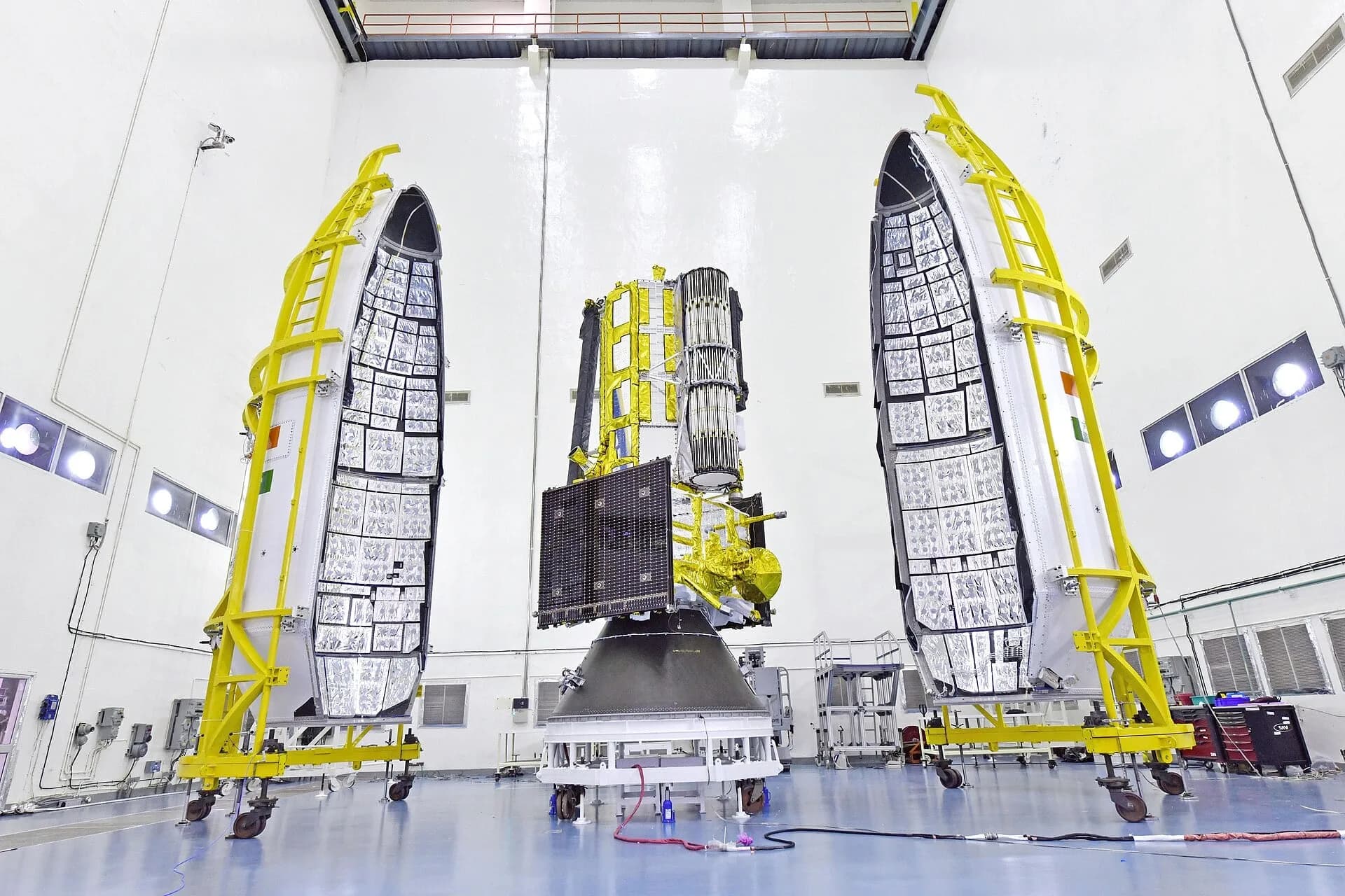
ISRO is replacing them with the NVS series, which carry Indian-made rubidium clocks and the new L1 signal. Our report on the NVS-03 launch explains the latest satellite.
Does it matter for ordinary users?
For everyday navigation, not much: your phone blends signals from every system it can hear. Where NavIC matters is in national resilience: an Indian-controlled source of position and time for the military, ships and fishing boats, aircraft, power grids, telecom and disaster warnings. Fishermen, for instance, can receive NavIC-based alerts about cyclones and maritime boundaries on dedicated devices.

Common questions
Is NavIC more accurate than GPS? Over India, the two are designed to be broadly comparable, and both are more accurate when combined with other systems. With fewer working satellites, NavIC on its own is currently limited.
Can I switch my phone to NavIC only? Most phones do not offer that setting; they automatically use all available systems.
Does NavIC work abroad? Only within its coverage area, roughly India and up to about 1,500 km beyond its borders.
Related reading
Sources
This article draws on the following reporting. Dates are when each source was originally published.
- Wikipedia: Indian Regional Navigation Satellite System (NavIC)
- Indian Space Research Organisation: ISRO (official website)
- GPS.gov: GPS: the Global Positioning System
Cite or link to this story
Quoting this article or using its figures? Please credit The Daily with a link.
Source: <a href="https://www.thedailymagazine.in/innovation/navic-vs-gps-phones">NavIC vs GPS: How India's Navigation System Works, and Does Your Phone Support It?</a>, The Daily, 15 Oct 2026.Written by
Stories, explainers and features published by The Daily, based on public sources that are listed with every article.
More from The Daily →Enjoyed this story?
Get the best of The Daily in your inbox every Sunday.